Boundary Surveys
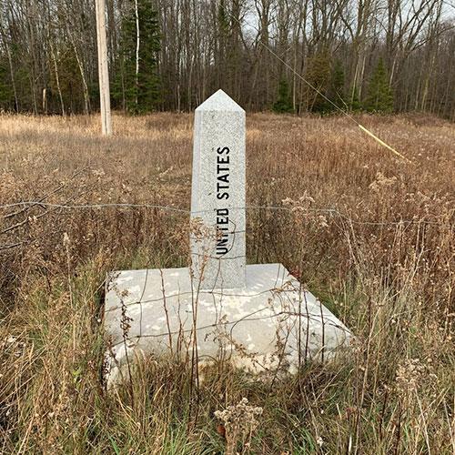
We perform Boundary Surveys to retrace boundaries by reviewing land records, recovering physical evidence on site and applying legal principles. This helps to establish a professional opinion of the location of boundary lines and corners. Types of Boundary Surveys include Retracement Surveys, Subdivisions, Boundary Line Adjustments and ALTA/NSPS Land Title Surveys.
Topographic Surveys
Day Land Surveying provides Topographic Surveys to Vermont residents, engineers and developers. These surveys aid in the process of site planning and development. We can provide Existing Conditions Plans, Base maps, and As-Built/Record Drawings. They are one of many land surveying services we provide.
FEMA Elevation Certificate & LOMA
We perform FEMA Surveys to establish the relationship between structures and/or parcels of land and the limit of Base Flood Elevations established by FEMA. If a structure or piece of land is above or outside a Special Flood Hazard Area, we can perform a LOMA to remove it from the effects of the flooding source. This is per FEMA designation and therefore reduces or eliminates the requirement for flood insurance.
Construction Staking/Layout
We offer construction staking and layout as additional land surveying services in Vermont. In general, surveyors provide construction layout services for site development to ensure that your project is being built as designed. Mark Day has extensive experience in layout work including foundation/structural (column lines, piers, anchor bolts), utilities and grading for sites and roads.

Better Results with Modern Technology
At Day Land Surveying, we pride ourselves in the way we conduct our surveys, utilizing some of the latest technology offered to the surveying industry including Base/Rover GNSS (GPS) as well as Survey Grade Drones.
The use of this advanced technology allows us to work in an efficient and productive way and ultimately serves the public to the best of our ability.
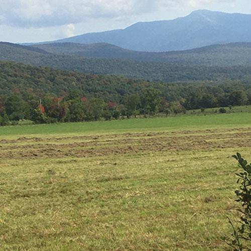
Equipped to Survey Vermont's Terrain

Base/Rover GNSS Surveying
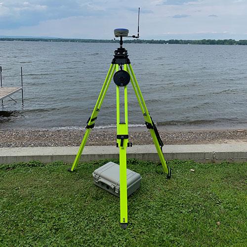
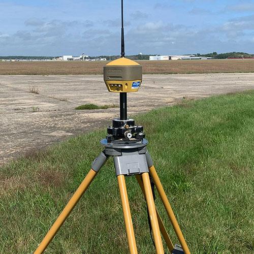
Base/Rover GNSS Surveying with reliable and up-to-date equipment has revolutionized that way we conduct surveys. With this technology, we can collect more field evidence in a shorter amount of time than with traditional survey practices. We are able to measure to more reference points than we could in the past, due to terrain or time constraints. Now we can better analyze boundaries and make more comprehensive determinations.

Survey Grade Drones
Survey Grade Drones have recently evolved to the point where they have become a very useful tool to land surveyors. With our drones, we can collect elevation data, create surface models and produce high resolution ortho-imagery. The quality far exceeds that of some online services such as Google Earth or statewide imagery datasets. We use these products for mapping, planning and volume calculations.
Vermont Land Survey Records
Day Land Surveying holds the survey records of David Peatman, a long-time Vermont land surveyor. Please send us a note if you're interested in these records.


